Mount Arjevani is located in the central part of Georgia, some 70 km west of the Tbilisi. The top of Mount Arjevani is 2,757 meters above sea level or 779 meters above the surrounding terrain. The width at the base is 24.5 km.
The terrain around Mount Arjevani is mainly hilly. Mount Arjevani is the highest point in the neighborhood. The nearest larger community is Tsalka located 19.4 km southeast of Arjevani. The area around Mount Arjevani is mostly agricultural land.
Photos were taken, doing (trying to do) a trip to Ninotsminda (in the region of Samtskhe-Javakheti) in January 2019.
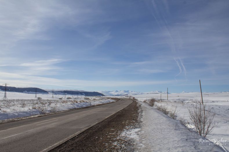
Mount Arjevani from Koda - Tetriskaro road
Inland climate prevails in the area. The average annual temperature in the neighborhood is 7 ° C. The hottest month is July when the average temperature is 18 ° C, and the coldest is January, with -8 ° C. Average annual rainfall is 821 millimeters. The wettest month is May, with an average of 131 mm of precipitation , and the driest is February, with 35 mm of precipitation.
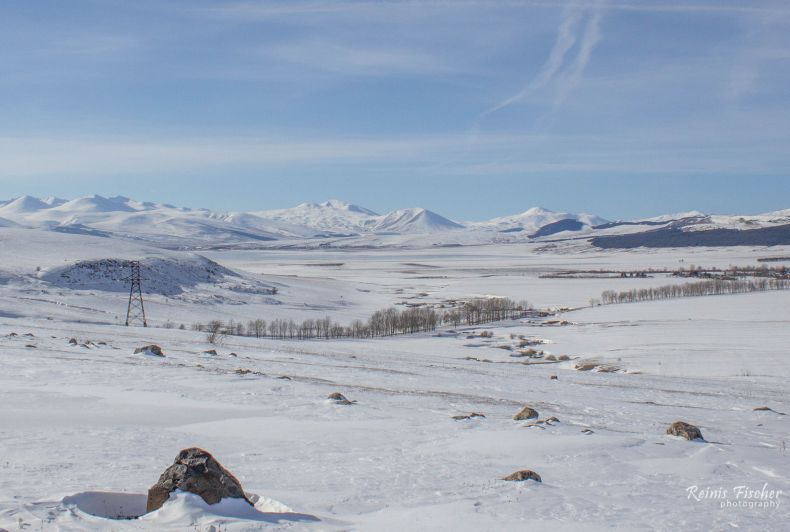
Mount Arjevani behind Tsalka reservoir
Freeride possible, see Javakheti Freeride Near Mt. Arjevani