About a year ago I discovered very cool hiking route in Tbilisi, heading from Turtle lake to Tskneti town. The total distance for this route was about 7 km and it offered very spectacular landscape views.
I have completed this route several times - last time together with my dad in May, 2015.
At the start of February I decided to offer this route as a possible photo / hike route for Georgia Expat Photographer club members, but before that I decided to check is it safe there (because of Tbilisi Floods 2015, I have heard that in Tskenti area there are landfalls. And just another reason - since I felt my photographer skills have improved a lot lately, I decided it would be a great experience to capture better photographs here. You can take a look of my previous photographs from this route here: Hiking Trails in Tbilisi - Turtle Lake (Kus Tba) - Tskneti
We decided to start hiking from Tskenti instead from Turtle lake, just to make sure - if there are any landslides - it would be better if we face them at the start of our trip and can turn back faster, instead of facing insurmountable obstacles at the end of our route and then turn back - hiking instead of 7km but about 14km.
So we took a bus #34 leaving from Station Square to Tskneti. We missed our stop (I was not able to identify exact location where to get of from bus) and decided to stay in bus until it reaches its final destination (Somewhere in Tskenti) and travel back. At the final stop we had to change our bus and wait for about 30 minutes for next bus.

Bus #34 in Tskenti
We left bus in Tskenti opposite to Kopola bowling center, I turned on Map My Ride app (Very useful for hiking trips as well), enabled GPS and we started walking
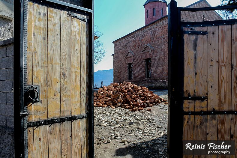
Small church in Tskneti
We turned right just after passed this church
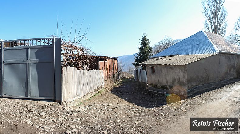
Just before start of trekking trails in Tskenti
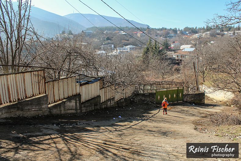
I played a little bit with panorama photography here
Steep path near Tskneti
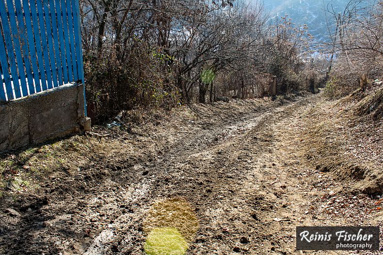
and very muddy path
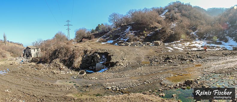
Ruins and mud
First obstacles - landfall and fallen trees
A significant flood occurred in the Vere River valley in Tbilisi, the capital of Georgia, on the night of 13 to 14 June 2015. It resulted in at least 20 human deaths and struck the Tbilisi Zoo. The Vere, a right tributary of the Mtkvari (Kura), runs through Tbilisi's Vake and Saburtalo neighborhoods. It is characterized by periodicflash floods, which had turned this normally small stream into a surging river, causing significant flooding in 1960, 1963, 1972, and 1995. In 1972, it resulted in several fatalities and completely flooded the Tbilisi Zoo.
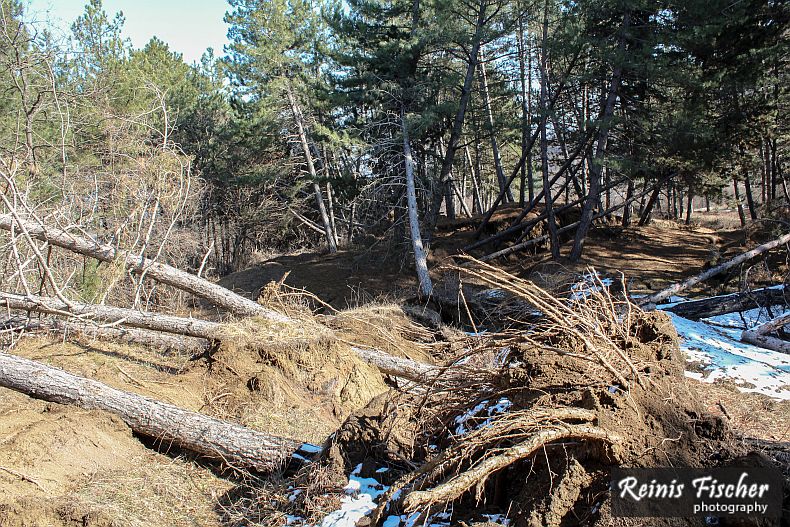
Fallen trees near Tskneti
I submitted above image as my day 142 image for my 365 days photo project
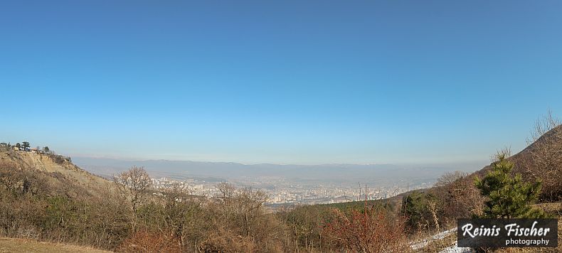
Tskneti/Tbilisi panorama
We continued our road for some 500 meters more and were just surrounded by landfalls so we decided there is no chance we will actually complete this route and turned back to Tskneti
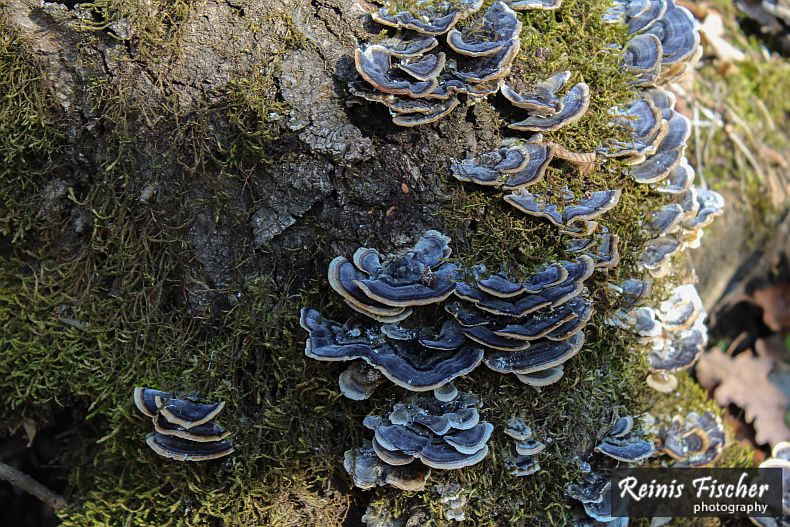
Fungi on stump
Played a little bit with close ups here
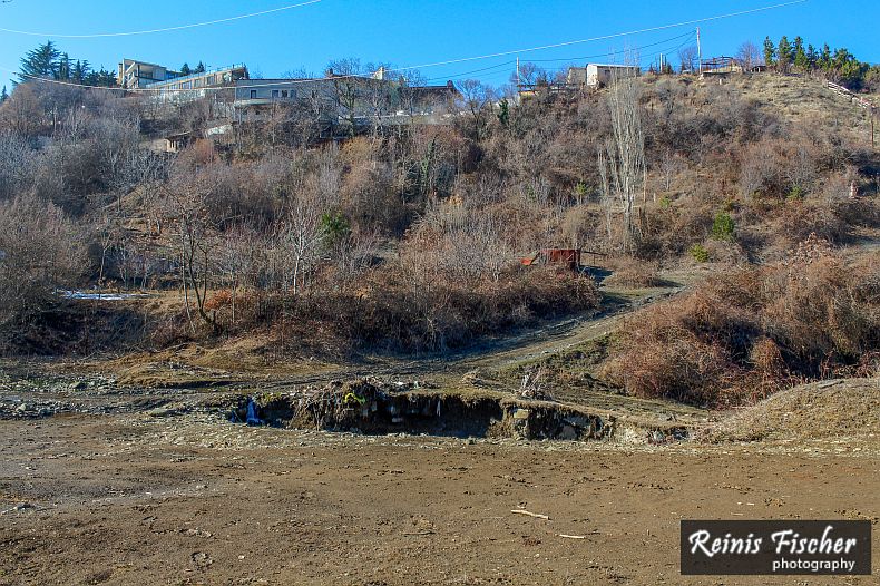
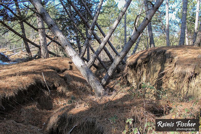
Landfalls near Tskenti
Now it was time to take the same muddy steep path to get back to the Tskenti town